Description/Basic Information
Encompassing almost the entire boundary between Montana and Idaho, the southern half forming part of the continental divide, the Selway-Bitterroot mountains are some of the most spectacular and rugged peaks in the United States. Their name is derived from the Montana state flower, the small pink bitterroot flower. First explored by Lewis and Clark after the Louisiana Purchase, the mountains were once thought to be impenetrable, which has helped to keep the area free from commercial exploitation to this day.
GEOGRAPHY: The Bitterroot Mountains form a rugged, glacier-carved border between Idaho and Montana. On both sides of this border is the Selway-Bitterroot Wilderness, the third largest wilderness in the Lower 48. Only the 600 foot wide Nez Perce Trail (the Magruder Corridor), an unimproved dirt road, separates the Selway-Bitterroot from the Frank Church-River of No Return Wilderness. Except for the high crest of the Bitterroot Mountains, the area is dominated by ridges broken with raw granite peaks. Below the ridges are deep canyons covered with thick coniferous forest. Hidden low valleys are rich with old-growth cedar, fir, and spruce, with Ponderosa Pine dominating open grassy slopes along the rivers.
Mostly within the Selway-Bitterroot Wilderness, the wild Selway River rushes out of the mountains of Idaho and is joined by flows from the Moose Creek drainage and lower down the Lochsa River. The Selway is a premier whitewater river offering a wild, remote, and self-reliant
river experience.
The Selway-Bitterroot Wilderness was designated as a wilderness area by Congress in 1964, and contains a total of 1,340,587 acres. Idaho contains approximately 1,089,144 acres, while Montana contains approximately 251,443 acres. The Selway-Bitterroot Wilderness is managed by the Forest Service, and is bordered by the Frank Church-River of No Return Wilderness to the south (separated by the Magruder Corridor and Highway 12).
Wildlife
Few humans visit the huge trailless portions of this Wilderness, which makes it appealing for a variety of wildlife. The Selway-Bitterroot Wilderness is home to nearly 270 mammal and avian species identified to date. Forage created in the aftermath of old wildfires sustains large wintering populations of elk and deer found on the Idaho side of the Bitterroots. Common in both Idaho and Montana, moose are particularly abundant in the rolling uplands and wet meadows of the Elk Summit country. In addition, mountain lions and black bears are well-dispersed throughout the area; grizzlies, however, have been notably absent since the 1940s. Bighorn sheep and mountain goat frequent the higher alpine regions, while a variety of smaller mammals and rodents including the porcupine, muskrat, beaver, yellow-bellied marmot, snowshoe hare, the red squirrel, northern flying squirrel, and yellow pine chipmunk, and among others, call the area home.
Trail Conditions/Reports
Approximately 1,800 miles of trails wind through the area providing access to both the Montana and Idaho sides of the mountains, but many trails in the area are unmaintained and rugged. There are also many unrecorded trails that lead deeper into the wildest parts of the wilderness. Travel by foot and stock can be challenging, but rewarding, in the heart of this large wild area.
The following link contains trail condition information for many trails within the Selway-Bitterroot Wilderness. Not all trails have reports. Please note that trail conditions can change very quickly, so always plan accordingly and use your best judgment when enjoying the great outdoors.
Moose Creek, Powell, and Lochsa Districts Trail Reports (includes the Selway-Bitterroot Wilderness)
Personal Experience: Besides the more popular trails from the trailhead to the nearest back country lakes (which felt like walking down a highway) the trails within the Selway-Bitterroot Wilderness were often poorly maintained and at times difficult to follow. Even the trails that are considered maintained often presented numerous challenges (we counted 47 downed trees in a three-mile stretch of a 'maintained' trail between Big Creek Lake and Packbox Pass). Should you choose to visit here (and you should, it's gorgeous) you may want to add some additional time to your hiking itinerary, and extra whiskey to enjoy once you finally settle in at camp.
Back Country Campsites
For those of you planning to head to the Selway-Bitterroots, you're probably curious about the availability of back country campsites, including their condition and other specifics. This section is for you. For those of you that have camped in the Selway-Bitterroot Wilderness, I would appreciate your expertise and knowledge for the content in this section to make the list as complete and thorough as possible.
Bass Lake: At least two well-used campsites near the lake's southwest embankment. Realistically, both sites are probably situated too-close to the lake, but they are well-established, provide easy access to water, and offer spectacular views.
Bass Lake: At least two well-used campsites near the lake's southwest embankment. Realistically, both sites are probably situated too-close to the lake, but they are well-established, provide easy access to water, and offer spectacular views.
How to Get There: The easiest and most convenient way to reach Bass Lake is via Bass Creek Trail, which follows an old dozer grade from the Bitterroot foothills to the sprawling reservoir cradled in the headwaters of Bass Lake. The trail offers some nice scenery along the way, albeit the earthen dam at Bass Lake does hamper the natural beauty (see pictures 5-10 in the slideshow for several photos of the trail and foot of the lake).
Finding the Trailhead: Take US 93 South from Florence for 4 miles to Bass Creek Road. Turn right (west) and proceed for 2.5 miles to the trailhead at a wide switchback west of the Charles Waters Memorial Campground on FR 1136, which continues another 6.5 miles to its terminus at Bass Creek Overlook. This is a well-developed trailhead with ample parking. Vault toilets and picnic tables are available at the nearby campground.
Finding the Trailhead: Take US 93 South from Florence for 4 miles to Bass Creek Road. Turn right (west) and proceed for 2.5 miles to the trailhead at a wide switchback west of the Charles Waters Memorial Campground on FR 1136, which continues another 6.5 miles to its terminus at Bass Creek Overlook. This is a well-developed trailhead with ample parking. Vault toilets and picnic tables are available at the nearby campground.
|
Start: Bass Creek Trailhead; Selway-Bitterroot Wilderness
Distance: 8.5 miles to Bass Lake (17 miles for roundtip) Hiking Difficulty: Moderate; a streamside ascent with several steeper sections Trail Surface: Forested Trail Best Seasons: Late June-September |
Nearest Town: Florence, MT
Fees and Permits: No fees or permits required Maps: USGS 7.5-minutes series: Saint Joseph Peak, ID-MT; Saint Mary Peak, MT Elevation Gain: 3,630 feet Elevation Lost: 490 feet Water Availability: Generally good, with frequent access to Bass Creek and tributaries |
Continuing Options: The Bass Creek Trail eventually turns into the Bass Pass Trail (301) and offers a connecting route to the Kootenai Creek drainage. However, the trail is no longer maintained and is not shown on current maps. From the head of Bass Lake, the trail is visible and clear from debris; however, soon after descending from Bass Pass the trail becomes indiscernible and incredibly difficult to follow and the vegetation extremely thick (see pictures 11-22 in the slideshow for several photos of the pass). In order to successfully traverse this terrain, you will need to possess strong navigation skills, a high tolerance for stressful situations, and at least 250mL of whiskey per person for camp.
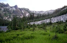
South Kootenai Lake: At least two well-used and established campsites near the lake, separated by a small stream. Both sites have excellent access to water, and offer stunning views of exfoliated rock walls, deep forest, and multiple scree fields.
How to Get There: The easiest and most convenient way to reach South Kootenai Lake is via the Kootenai Creek Trail, parts of which are still recovering from the fire of 2009. The trail is long and rises gradually before becoming much more steep near the final few miles, but offers nice view of glaciated terrain and a glimpse of the Heavenly Twins. The lakes themselves are popular backcountry destinations and offer some very fine scenery.
Finding the Trailhead: Take US 93 south from Florence for 8 miles to North Kootenai Road. Turn right (west) and follow this good gravel road for two miles until you reach the trailhead. Located just below the canyon entrance, the trailhead offers parking for 16 vehicles, in addition to vault toilets. Note: the Kootenai Creek Trailhead is a designated day-use-only-site; overnight camping is prohibited.
Finding the Trailhead: Take US 93 south from Florence for 8 miles to North Kootenai Road. Turn right (west) and follow this good gravel road for two miles until you reach the trailhead. Located just below the canyon entrance, the trailhead offers parking for 16 vehicles, in addition to vault toilets. Note: the Kootenai Creek Trailhead is a designated day-use-only-site; overnight camping is prohibited.
|
Start: Kootenai Creek Trailhead; Selway-Bitterroot Wilderness
Distance: Approximately 9.5 miles to the lake region (19 for out-and-back roundtrip) Difficulty: Moderate; a long, gradual ascent with a few steep intervals Trail Surface: Forested Trail Best Seasons: Late June - September |
Nearest Town: Stevensville, MT
Fees & Permits: No fees or permits required Maps: USGS 7.5-minute series: Saint Joseph Peak, ID-MT; Saint Mary Peak, MT Elevation Gain: 2,720 feet Water Availability: Generally good, with frequent access to Kootenai Creek and its tributaries |
Continuing Options: Not a whole lot of opportunities available for those wanting to continue on from here. According to Hiking the Selway-Bitterroot Wilderness, 2nd Edition by Scott Steinberg: "The Bass Pass Trail (301) offers the only practical connecting route...and the opportunity for a 19.7 mile point-to-point hike when combined with the adjoining Bass Creek Trail (4). The trail over Bass Pass has not been maintained for many years but reportedly remains easy to follow as of 2011."
Mr. Steinberg makes several interesting points here, one of which is true and one of which may be true. In regards to the simplicity of following the Bass Pass Trail, I was there is 2012 and, while traversing the opposite direction looking for said trail, could not find the thing for the life of me. So maybe I just missed it and it's there and quite easy to follow, but I can't say with any certainty. The true point that Mr. Steinberg makes is that the Bass Pass Trail is most likely the only "practical" connecting route; however, my buddy and I were able to successfully bushwhack our way past the scree fields and through the wooded area following South Kootenai lake and up and over what is now unofficially referred to as Coffey Soul Pass (it was an unnamed "pass," my last name is Coffey, and I lost my soul going over it, hence the name) before reaching Big Creek Lake, but I would not recommend it. However, if you're up for a challenge, it is possible to get from South Kootenai Lake to Big Creek Lake via the Beaver Creek Drainage (ranger approved...kinda). If you're interested in seeing some of the area between those two points, refer to pictures 27-46 in the photo gallery - see pictures 35,36,37,41, and 42 specifically to see our camp between the two lakes). Good luck. Bring extra whiskey.
Mr. Steinberg makes several interesting points here, one of which is true and one of which may be true. In regards to the simplicity of following the Bass Pass Trail, I was there is 2012 and, while traversing the opposite direction looking for said trail, could not find the thing for the life of me. So maybe I just missed it and it's there and quite easy to follow, but I can't say with any certainty. The true point that Mr. Steinberg makes is that the Bass Pass Trail is most likely the only "practical" connecting route; however, my buddy and I were able to successfully bushwhack our way past the scree fields and through the wooded area following South Kootenai lake and up and over what is now unofficially referred to as Coffey Soul Pass (it was an unnamed "pass," my last name is Coffey, and I lost my soul going over it, hence the name) before reaching Big Creek Lake, but I would not recommend it. However, if you're up for a challenge, it is possible to get from South Kootenai Lake to Big Creek Lake via the Beaver Creek Drainage (ranger approved...kinda). If you're interested in seeing some of the area between those two points, refer to pictures 27-46 in the photo gallery - see pictures 35,36,37,41, and 42 specifically to see our camp between the two lakes). Good luck. Bring extra whiskey.
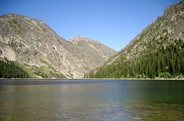
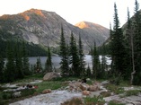
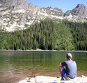
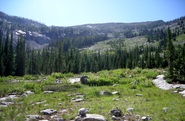
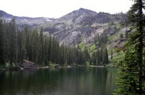
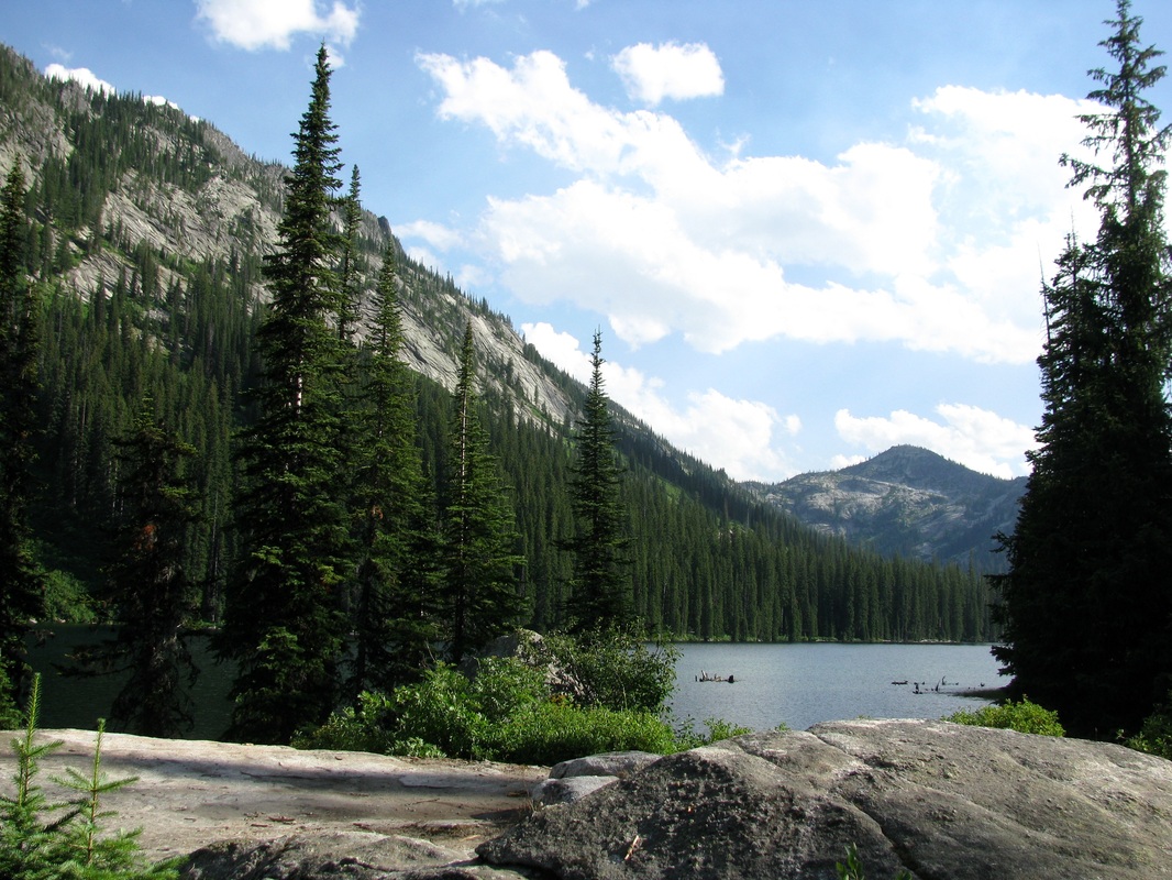
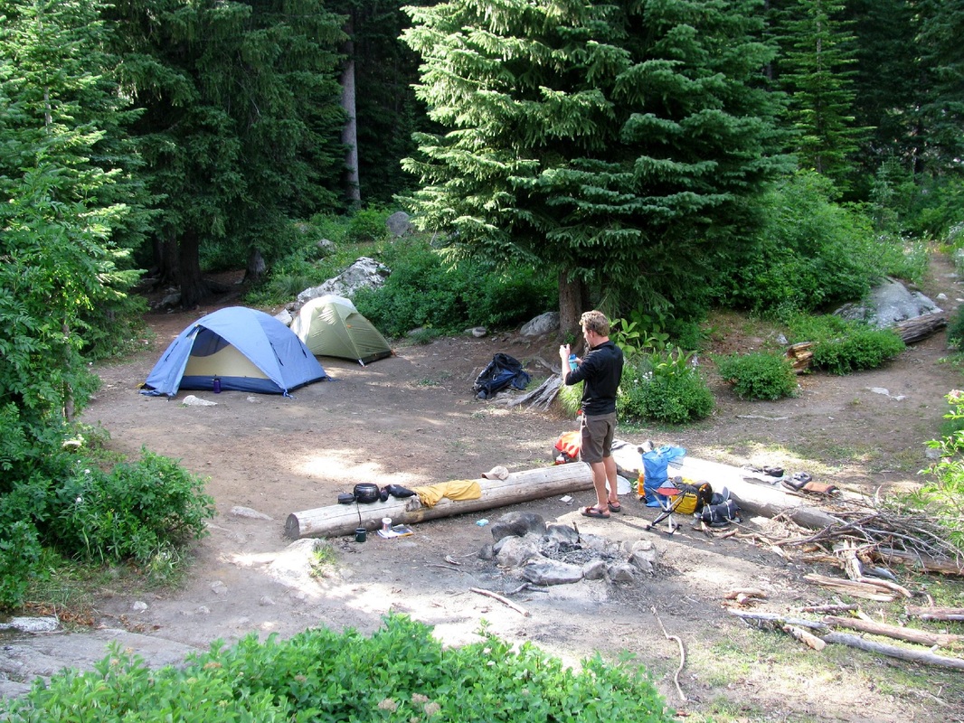
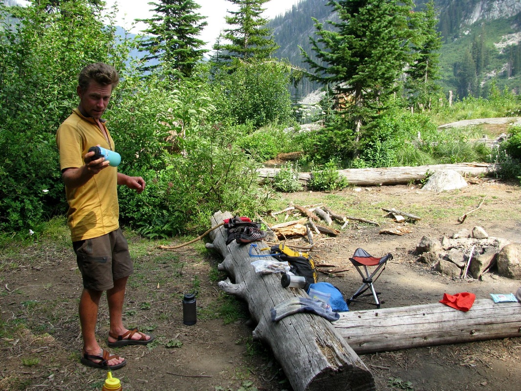
Big Creek Lake: A very popular destination for backpackers and stock users alike, this lake is huge! There are at least three very well-established (possibly more) camp sites available as one makes their way from the foot to the head of the lake (the first campsite at the foot does not offer a lot of privacy, but it's another good 1/4-1/2 miles to the next site). Regardless, all sites have easy access to water and contain very picturesque views of the Bitterroots. The following pictures are from the site just past the junction to the long abandoned Stormy Pass about halfway from the foot of the lake.
How to Get There: The easiest and most convenient way to reach Big Creek Lake is via the Big Creek Trailhead. Along the way you'll pass through heavy forest, cross several footbridges, and see Tipi Rock (at mile 4.9 a great place to have a new age lunch - see picture 49 of our lunch there) before hitting some earthen steps that lead to concrete dam on the outset of Big Creek Lakes. Expect some nice scenery, but be on the lookout for horses.
Finding the Trailhead: Take US 3 north from Victor for 2 miles to Bell Crossing. Turn left (west) and follow Bell Crossing for another 0.5 miles to the T intersection with Meridian Road; turn right (north) and continue 0.25 miles to Curlew Orchard Road at an abrupt left-hand turn. Proceed west on Curlew Orchard Road for the next 1.1 miles to Big Creek Road ((FR738), which veers to the right shortly after passing Indian Prairie Loop. Follow FR738 through a rural residential area of the reclaimed Curlew Mines for 3 miles to the Big Creek Trailhead Loop. The trailhead offers parking for more than 12 vehicles and a vault toilet; in addition, there are undeveloped campsites for picnicking or overnight camping available nearby as well.
Finding the Trailhead: Take US 3 north from Victor for 2 miles to Bell Crossing. Turn left (west) and follow Bell Crossing for another 0.5 miles to the T intersection with Meridian Road; turn right (north) and continue 0.25 miles to Curlew Orchard Road at an abrupt left-hand turn. Proceed west on Curlew Orchard Road for the next 1.1 miles to Big Creek Road ((FR738), which veers to the right shortly after passing Indian Prairie Loop. Follow FR738 through a rural residential area of the reclaimed Curlew Mines for 3 miles to the Big Creek Trailhead Loop. The trailhead offers parking for more than 12 vehicles and a vault toilet; in addition, there are undeveloped campsites for picnicking or overnight camping available nearby as well.
|
Start: Big Creek Trailhead; USFS Selway-Bitterroot Wilderness
Distance: 8+ miles to the dam; another 1.6 to trail junction near end of lake (16+ roundtrip point-to-point) Difficulty:Moderate Trail Surface: Forested Trail Best Seasons: Late June-September |
Nearest Town: Victor, MT
Fees & Permits: No fees or permits required Maps: USGS 7.5-minute series: Gash Point, MT-ID; Victor, MT; White Sand Lake, ID-MT Elevation Gain: Approximately 1,865 feet Elevation Lost: ??? Water Availability: Frequent, good access to water ever few miles or less |
Selway-Bitterroot Wilderness Photo Gallery
It is our hope that, from these photos, that you will gain a deeper understanding of what New Age Backpacking is really all about. But if New Age isn't your thing and you're just looking for some photos of the Selway-Bitterroot Wilderness because you're thinking about visiting it, have a look. I'm sure you'll change your mind from "thinking about going" to "hell yes, we're definitely going there next summer" rather quickly.
Contact Information
Darby Ranger District
Phone: (406) 821-3913 712 N. Main Street Darby, MT 59829 Office Hours: Mon-Fri 8:00 - 4:30 Bitterroot National Forest Phone: (406) 363-7100 1801 N First Hamilton, MT 59840 Clearwater National Forest Phone: (208) 476-4541 12730 Highway 12 Orofino, ID 83544 |
Stevensville Ranger District
Phone: (406) 777-5461 88 Main Street Stevensville, MT 59870 Lochsa Ranger District Phone: (208) 926-4274 502 Lowry St Kooskia, ID 83539 Moose Creek Ranger District Fenn Ranger Station Phone: (208) 926-4258 831 Selway Rd Kooskia, ID 83539 |
West Fork Ranger District
Phone: (406) 821-3269 6735 West Fork Rd Darby, MT 59829 Powell Ranger District Phone: (208) 942-3113 192 Powell Rd Lolo, MT 59847 Nez Perce National Forest Phone: (208) 983-1950 104 Airport Rd Grangeville, ID 83530 |
